


| OS | Garmin OS |
|---|---|
| Product Dimensions | 2.46 x 6.6 x 10.54 cm; 150.25 g |
| Batteries | 1 Nonstandard Battery batteries required. (included) |
| Item model number | 010-02940-00 |
| Connectivity Technologies | Bluetooth, USB |
| Special Features | Bluetooth, Touchscreen |
| Other display features | Wireless |
| Human Interface Input | Touchscreen |
| Colour | Black |
| What’s in the box? | Charging/data cable, Documentation, eTrex Touch GPS handheld navigator |
| Item Weight | 150 g |
Buy it with
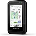
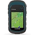
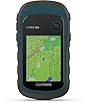
This item: Garmin eTrex® Touch, Rugged, Easy-to-Use GPS Handheld Navigator, Color Touchscreen, Preloaded Maps with Routable Trails and Roads, Long Battery Life for Hiking and All Outdoor Activities
$629.99
Get it by Wednesday, Nov 19
In Stock
+
$239.99
Get it Nov 21 - 25
In Stock
+
$156.00
Get it by Thursday, Nov 20
In Stock
Total price:��$00
To see our price, add these items to your cart.
Choose items to buy together.
Product information
Additional Information
| ASIN | B0FT54VL2S |
|---|---|
| �鶹�� Rank |
|
| Date First Available | Sept. 22 2025 |
| Manufacturer | Garmin |
Feedback

Videos for similar products


Brands in this category on �鶹��
Sponsored


Brand in this category on �鶹��
Sponsored

